Extras that tie this module to the rest of your Tuvvy.
⭐ PremiumGhost on the route
ride or run a route you did before and the banner shows live how many seconds you are ahead of or behind your earlier ride — from any point on the route. Tap the banner to race another ride; 👻 on the map turns it off
⭐ PremiumWhile you record, Tuvvy checks the rain forecast and sunset, works out how long the way back to your start takes at your pace and tells you when to turn back to get home dry or in daylight — on screen and as a notification
⭐ Premium🚗 The same route by car
a planned route shows what the trip would cost by car, at your car’s real cost per km from Fleet
⭐ PremiumSaved on the bike
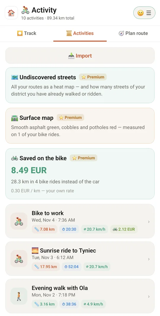
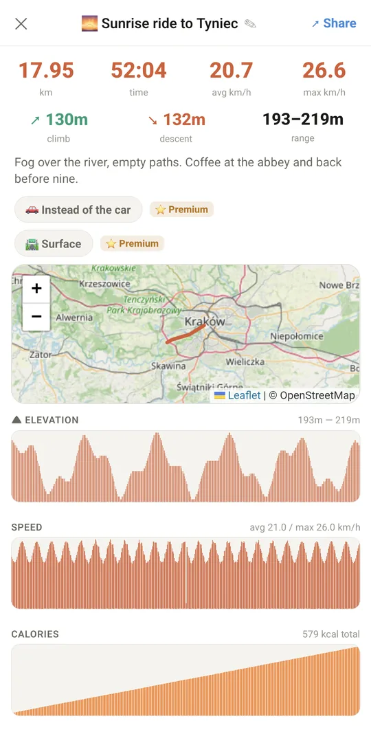
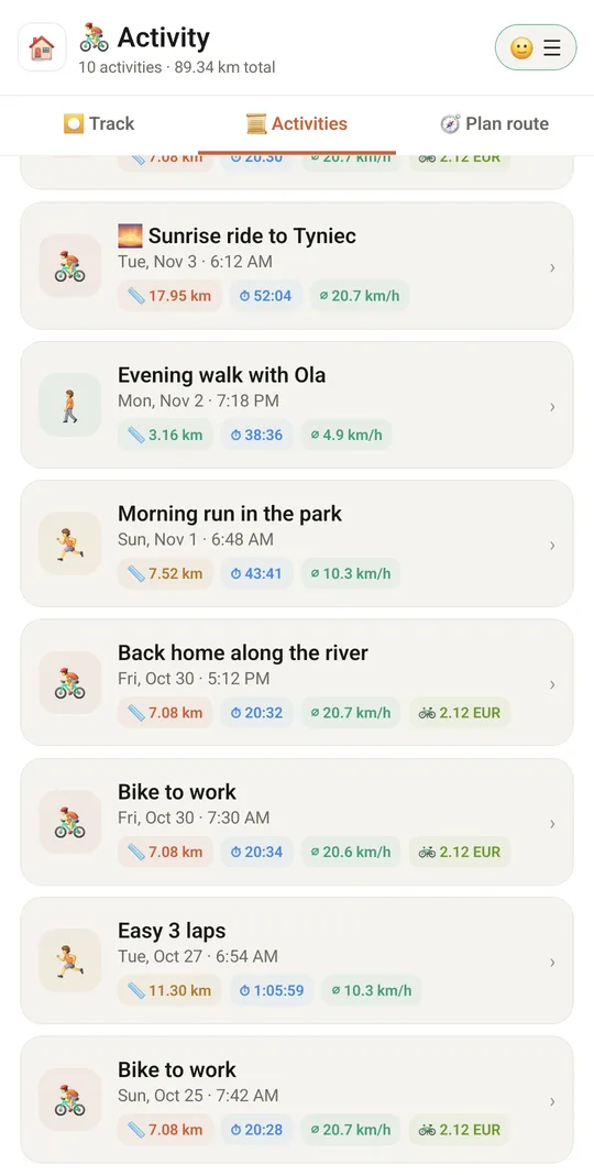
a bike ride marked “🚗 Instead of the car” counts in money at your car’s real cost per km from Fleet (or your own rate); the total is on a card in 📜 Activities and can count toward the Wealth goal
⭐ PremiumAfter dark
after sunset the family you choose sees your route live until you stop recording, then gets “✅ safe”
⭐ PremiumWind card after planning a route
wind speed and direction and how much of the route is into a headwind
⭐ PremiumReverse the route so the headwind comes first, while you are fresh (ignored under 8 km/h)
⭐ PremiumHeat map of all your routes
the more often you ride a street, the darker it gets
⭐ PremiumYour district’s streets from OpenStreetMap and the % explored: a street counts at 80% of its length
⭐ PremiumColours
ridden today, last 7 days, ticked off, in progress, to discover — hide any layer, change colours and line width
⭐ PremiumClosest streets to discover; ticked-off streets are saved with your account and come back after you log in
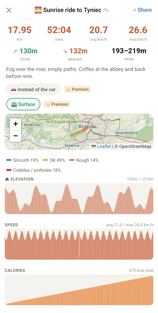
⭐ PremiumWhile you record a bike ride, the phone’s motion sensor feels how hard the bike shakes and rates every ~30 m: smooth asphalt green, OK yellow, rough orange, cobbles and potholes red
⭐ PremiumThe rating takes your speed into account and is compared with the rest of the same ride, so a phone in the pocket and one on the handlebar give the same colours; stops, walks and runs are left out
⭐ Premium🛣 Surface layer on the map of a recorded ride, with how much of the ride was on each kind of surface, and one map of all your rides (the newest ride wins where routes overlap)
⭐ Premium🛣 Avoid bad surface in the bike planner
picks a route around the stretches you measured as rough and shows the cost, e.g. “+400 m, no rough stretches”
⭐ PremiumKeep the phone on the handlebar with the screen on — with the screen off Android stops the motion sensor and those stretches get no colour; a reversed planned route also avoids bad surface
⭐ Premium🌍 Everyone
a surface map of the whole city from the rides other people chose to share — an average for every ~20 m, shown once at least two people have ridden there
⭐ PremiumShare my measurements anonymously (off by default)
only ~20 m map squares and how rough they are — no dates or times, nothing from the first and last 200 m of a ride
⭐ PremiumThe planner also avoids bad surface measured by others, and the 🛼 Skates and 🛹 Skateboard modes accept a much longer detour to keep off rough stretches
 Tuvvy